Route door het dorp en buitengebied Lieshout
Wandelroute die voor de helft door het dorp voert en voor het andere gedeelte door het buitengebied.
Dit ga je zien
Startpunt
Dorpsstraat 44
5737 GC Lieshout
Navigeer naar startpunt
Ook interessant
-
Een spannende wandeling naar een grens met Aarle-Rixtel
Een spannende wandeling naar een grens met Aarle-Rixtel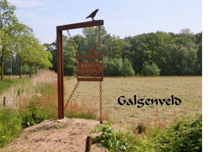
Wandeling naar de galg van Aarle.
(6.4 km) -
Paarse wandelroute in Elsendorp
Paarse wandelroute in Elsendorp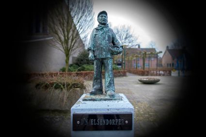
Een route door het dorp dat nog heel jong is aan de rand van de bewoonde wereld.
(16.5 km) -
Kasteelroute Deurne
Kasteelroute Deurne
Wandeling door het Kasteeldomein van Deurne en langs de Peelrandbreuk in het Vlierpark
(2.5 km) -
Wandelen in de heerlijkheid
Wandelen in de heerlijkheid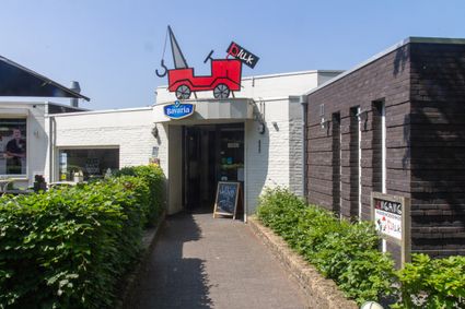
Beek en Donk is een voormalige heerlijkheid, waar tal van historische locaties te vinden zijn.
(10.8 km) -
Rondje Beek en Donk
Rondje Beek en Donk
Groene randen van het dorp, dorpsgezichten en veel water is te zien in het Rondje Beek en Donk.
(11.0 km) -
Bosrijke natuur Aarle-Rixtel
Bosrijke natuur Aarle-Rixtel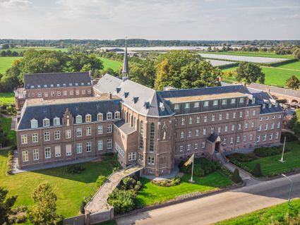
Dit is één van de wandelroutes welke starten bij het Missieklooster Heilig Bloed aan de Kloosterd...
(13.9 km) -
Wandelroute Kunstig Deurne
Wandelroute Kunstig Deurne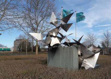
Wandelroute langs kunstobjecten in Deurne, maak wandelend kennis met de kunst in de openbare ruimte.
(4.8 km) -
Wandeling in Beek en Donk
Wandeling in Beek en Donk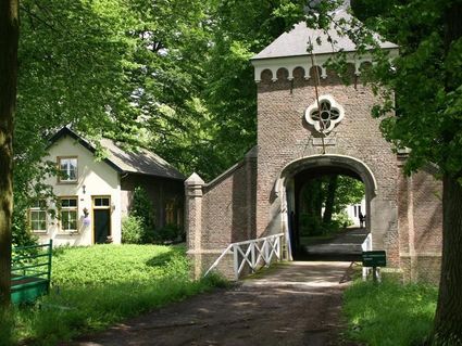
Beek en Donk is een mooi dorpje dat in de Brabantse luwte ligt. Trek je stevige schoenen aan en e...
(7.3 km) -
Natuur- en wandelgebied Het Groot Goor
Natuur- en wandelgebied Het Groot Goor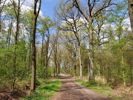
Het Groot Goor is een bos- en natuurgebied ten oosten van Mierlo-Hout. Het kerngebied van 30 ha i...
(3.5 km) -
Wandelen door de Blauwe Poort
Wandelen door de Blauwe Poort
Een wandeling door het groene en waterrijke gebied tussen Beek en Donk en Gemert.
(4.6 km)