Art and culture in the Peel
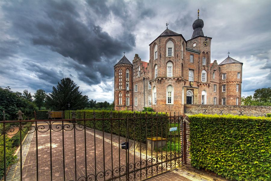
Visit the lush remains of Asten Castle, follow a culture route through Helmond or a chateau domain walk in Deurne. You discover the most beautiful heritage. The Peel also has a diverse range of museums. Step back in time to a peeldorp from 1900 in Gemert, admire the Wieger museum and the nearby Toon Kortoomspark and don't miss the celebrated Museum Klok & Peel.
25 to 48 of 141 results
-
Grenspaal Weijser Paal
Grenspaal Weijser Paal
A boundary post between Bakel and Gemert, placed by order of Charles the Fifth, Emperor of the Fr...
Elsendorp -
Helling in de Scheiweg | Gemert
Helling in de Scheiweg | Gemert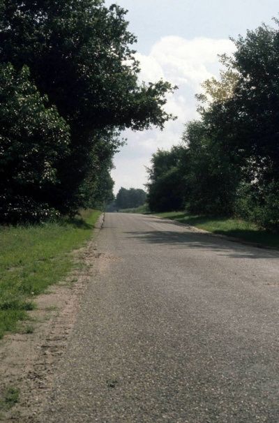
If you look from west to east across the Scheiweg, you will see a slope in the road. The differen...
Gemert -
Calvarieberg De Rips 1936
Calvarieberg De Rips 1936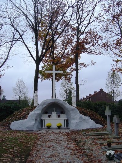
This Calvary has a unique altar that was used in the annual processions.
De Ripd -
Grenspaal Bunthorst Paal (Kuil)
Grenspaal Bunthorst Paal (Kuil)
The easternmost boundary marker in the Peel between Gemert and Bakel. Also the border with Oploo....
De Rips -
Bebouwing westzijde Kerkstraat
Bebouwing westzijde Kerkstraat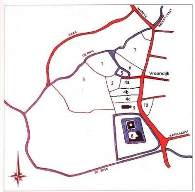
The first construction on the west side of Kerkstraat occurred between 1480 and 1500. Now the cen...
Gemert -
Paal op De Sijp | Gemert
Paal op De Sijp | Gemert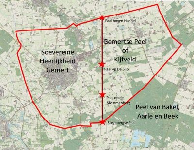
-
Gehucht Boekent | Gemert
Gehucht Boekent | Gemert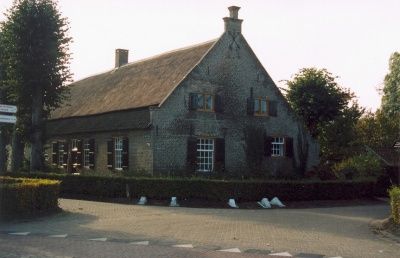
Boekent is one of the oldest hamlets of Gemert. Older than Gemert Castle, it is an intersection o...
Gemert -
Archeologische opgraving: Hooghuis, Gemert
Archeologische opgraving: Hooghuis, Gemert
Hooghuis is Gemert's oldest known castle. It was the property of the Lords of Gemert, who owned t...
Gemert -
Helling in de Haveltweg | Handel
Helling in de Haveltweg | Handel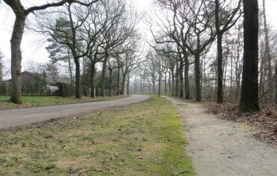
If you look from west to east across the Haveltweg you will see a slope in the road. The differen...
Handel -
WWII: Bazi-kamp (verdwenen) | De Rips
WWII: Bazi-kamp (verdwenen) | De Rips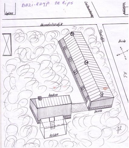
BAZI, a secret German radar station in the Peel.
De Rips -
Voormalig klooster Nazareth | Gemert
Voormalig klooster Nazareth | Gemert
In 1848, the Franciscan Sisters Penitents-Recollectines came to Gemert to establish a convent and...
Gemert -
Flourmill "De Bijenkorf"
Flourmill "De Bijenkorf"
Flourmill "De Bijenkorf" is located at Den Elding 2 in Gemert. Here you will find all the informa...
Gemert -
Mysteries van Gemert (deel 2)
Mysteries van Gemert (deel 2)
Ad Otten on all kinds of historical facts from local history under the heading Mysteries of Gemer...
Gemert -
Molen De Volksvriend | Gemert
Molen De Volksvriend | Gemert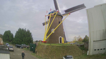
Mill De Volksvriend is a round stone upper mill in Gemert. It is located on the Oudestraat that l...
Gemert -
Natuurgebied Handelse Bossen | Handel
Natuurgebied Handelse Bossen | Handel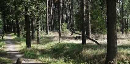
The Handel drifting dunes began to cause considerable problems for the fields around 1800 due to...
Handel -
Villa Ledeboer
Villa Ledeboer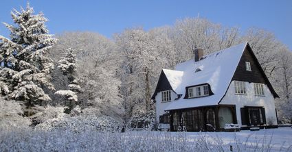
The Ledeboer family, exploiters and owners of large parts of the surrounding woodland, built a vi...
De Rips -
Natuurgebied Beestenveld | De Rips
Natuurgebied Beestenveld | De Rips
The Beestenveld is a forest area of about 362 ha owned by the Forestry Commission.
De Rips -
Voormalige Komschool | Gemert
Voormalige Komschool | Gemert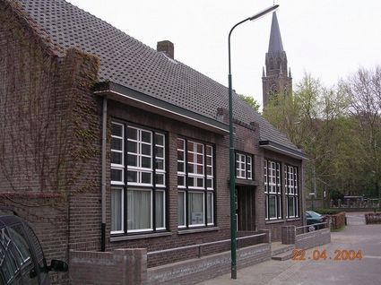
One of the old village schools, from 1877 that incidentally lasted until 1978.
Gemert -
De Tolbrug
De Tolbrug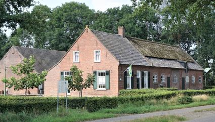
This long-gabled farmhouse stands on the spot where toll was formerly levied for the use of the b...
Bakel -
Museum: Bosmuseum
Museum: Bosmuseum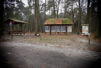
At the edge of the Ripse woods, a hand-carved forest museum stands in the open air. This wooden c...
De Rips -
Gehucht: Esdonk
Gehucht: Esdonk
Esdonk is a chapel hamlet, a cluster of farms, first mentioned in the 13th century to which a cha...
Gemert -
WWII: Freya zoekradar | De Rips
WWII: Freya zoekradar | De Rips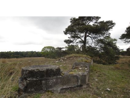
Freya search radar position with the remains of radar system blown up by the Germans themselves a...
De Rips -
Hagelkruis Boekent | Gemert
Hagelkruis Boekent | Gemert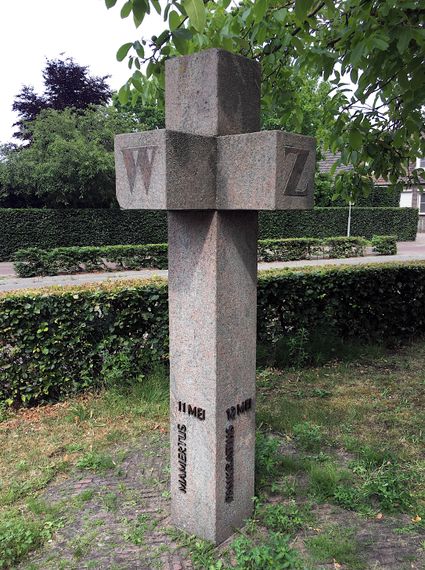
Cross placed in middle of fields to ward off hail and protect harvest.
Gemert -
Archeologische opgraving: Kapelakker, Milheeze
Archeologische opgraving: Kapelakker, Milheeze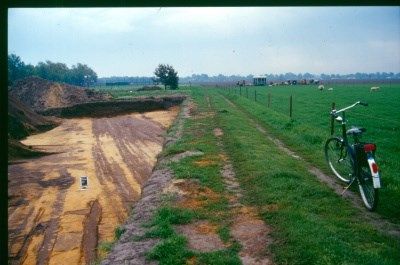
So from the 9th to the 12th century, an almost unique fortified settlement lay here on the throug...
Milheeze