Natuurgebied Landgoed Cleefswit | Elsendorp
Contact
Elsendorpseweg 35
5424 TB Elsendorp Plan your route to Natuurgebied Landgoed Cleefswit | Elsendorp
Cleefswit is one of the older examples of the large-scale reclamations of wasteland that swept through the Netherlands like wildfire in the late 19th, early 20th centuries. It was reclaimed in 1889 by order of the notary Van Kemenade. It was a total failure. Most of the plot was a fens and thus was continuously under water. The regional reclamation method did not dewater sufficiently and the trees did not want to grow. As a result, in the period 1908-1915, the area was rearranged by the N.V. Landbouwmaatschappij Cleefswit. Today, Cleefswit is partly a nature reserve. However, the shape of the former fen is still recognizable because those parts are pasture land. Also, remnants of an old crescent dune of shifting sand can still be recognized.
The shape of the…
Cleefswit is one of the older examples of the large-scale reclamations of wasteland that swept through the Netherlands like wildfire in the late 19th, early 20th centuries. It was reclaimed in 1889 by order of the notary Van Kemenade. It was a total failure. Most of the plot was a fens and thus was continuously under water. The regional reclamation method did not dewater sufficiently and the trees did not want to grow. As a result, in the period 1908-1915, the area was rearranged by the N.V. Landbouwmaatschappij Cleefswit. Today, Cleefswit is partly a nature reserve. However, the shape of the former fen is still recognizable because those parts are pasture land. Also, remnants of an old crescent dune of shifting sand can still be recognized.
The shape of the landscape, the geomorphology is very old. During the last Ice Age, large mounds of sand were pushed up because the area was very cold and dry. those mounds of sand were formed by the wind into crescent dunes, also called barghans. After the Ice Age, vegetation increased and the crescent dunes were preserved, fixed by plant roots. In the lower parts, the lee sides of the dunes, fens formed. Here peat was formed, which was deposited in large quantities as fuel and as bedding for animal stables. The first reclamation of the de Cleefswit was not like many reclamations around 1900 associated with the Dutch Heath Society. This is a large reclamation agency that still exists today under the name Arcadis. The notary Van Kemenade had already begun reclamation in 1989 through the regionally used method of sowing pine trees in strips five meters wide along which trenches half a meter deep ran. This was a completely unsatisfactory method of drainage for the area. Most of Cleefswit, was fen and was thus continuously under water. Afforestation failed completely. The reclamation of the Peel and Cleefswit aimed to make the "wasteland" usable. In the Peel, this was often for forestry; because of the poor soil, this was seen as the only option. In any case, before the turn of the century almost all the land that was reclaimed was forested.
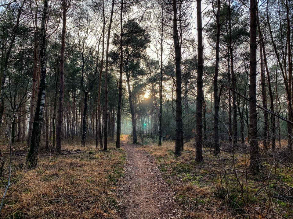
Today, the dunes on Cleefswit are forested. The intervening lower ground, where the fen used to be, consists mainly of agricultural land.
Characteristic is the virtual absence of buildings. In a number of places in the area there are (long-gabled) farms from the period of reclamation. Other large-scale reclamation areas are De Krim, De Sijp estate, Stippelberg and Groote Slink-Bunthorst.
Source: S. Hoeymakers, Heemkundekring De Kommanderij, Gemert, 1986.

