Peelrandbreuk bij Hogen Aarle | De Mortel
Neem contact op
Lage Aarleseweg
5425 PD De Mortel Plan your route
from your location
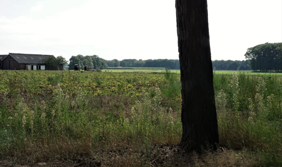
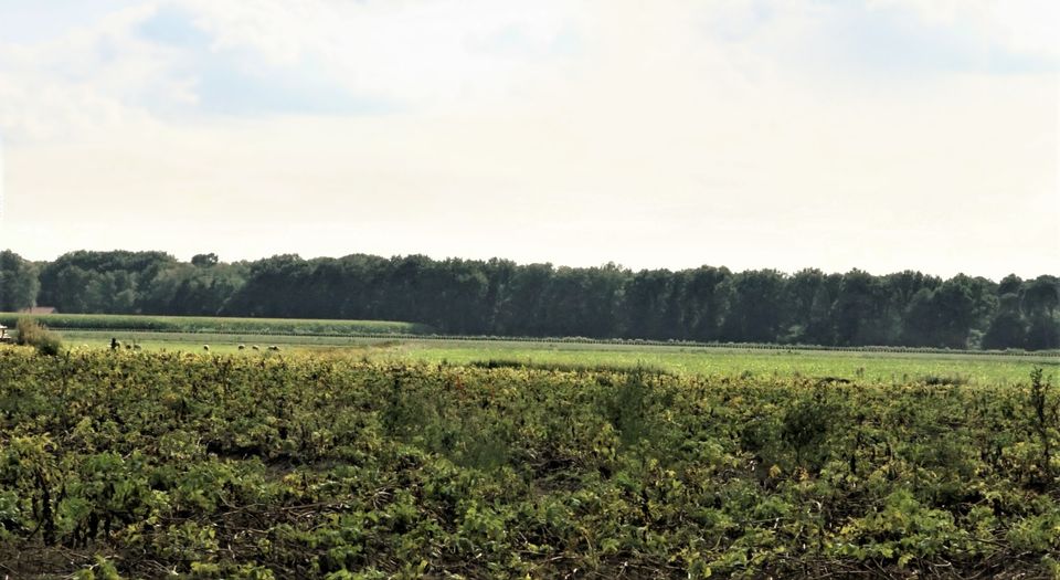
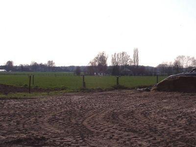
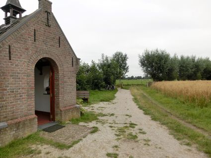
Looking from north to south across the fields on the south side of Lagen Aarleseweg, one can see a slope in the landscape. The difference in height is 2 metres over a distance of 100 metres. This difference in height is caused by the Peelrand fault.
The Peelrand fault
In the subsoil of Gemert-Bakel there are fractures in the earth's crust. The Peelrand fault is …
Looking from north to south across the fields on the south side of Lagen Aarleseweg, one can see a slope in the landscape. The difference in height is 2 metres over a distance of 100 metres. This difference in height is caused by the Peelrand fault.
The Peelrand fault
In the subsoil of Gemert-Bakel there are fractures in the earth's crust. The Peelrand fault is the most important of these. Side faults are the Breuk van Gemert, the Breuk van Gemert-zuid, the Breuk van Handel and the Breuk van Milheeze. The soil on the eastern side of this fault system slowly rises. This is the so-called Peelhorst. The soil on the west side is slowly descending. That is the so-called Roerdalslenk. That vertical movement averages about 0.5 mm in ten years. In the long run, that still becomes large height differences. Because at the same time the descending Roerdalslenk is filled up by the wind with covering sand, there are no steep slopes and the height differences are not visible everywhere. At this location on Hogen Aarle, however, that height difference is visible. Apart from height differences, there are other phenomena by which you can recognise the location of Peelrand fault and its side faults.
A farmstead with a moat
The Peelrand fault also causes points. This is a strip of marshy ground along the fault, caused by strong seepage of groundwater, which is forced to the surface at the level of the fault. There is always water in a wijst area, even in the driest summers. In the direct vicinity of the Peelrand fault the moat farm Ten Hogen Aarle was founded in the Middle Ages. It was chosen because the pointing water always provided sufficient water in the moat.
As a result of the Peelrand fault, a difference in height is visible on Hogen Aarle in the landscape. In the background is the farmstead Ten Hogen Aarle, which is clearly lower in the landscape.
