
Walking through the Blue Gate
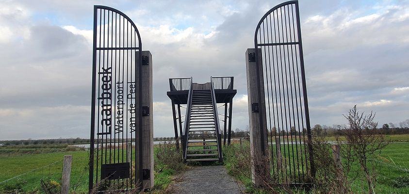
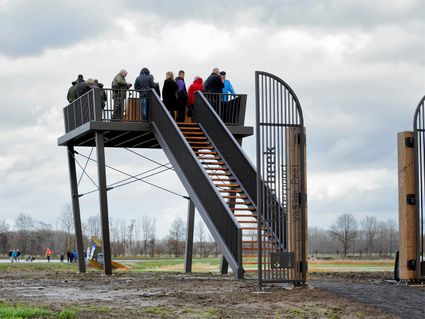
'Blue Gate Laarbeek' refers to the municipality of Laarbeek as the water gate of the Peel. The area used to be referred to as De Leek and was often flooded. Now, when it rains heavily, the water storage area fills with water from the large industrial estate on the opposite side of the N279. From the water storage area, the water is pumped to the water farm. The result: a large tank of water as a reserve for farmers in dry times. Since 2018, there has been an innovative water storage and water husbandry system here, which also makes meadow birds and fish like the big mud creeper happy. Over new walking and cycling paths and from an educational watchtower, you can enjoy this area. If you like playing with water, there is a special pedal boat with which you can pump water from the storage area into the farm yourself.
Sights on this route
Starting point:
Kruising Middenweg in Beek en DonkMiddenweg
Beek en Donk
Navigate to starting point
Starting point
Kruising Middenweg in Beek en Donk
Middenweg
Beek en Donk
Navigate to starting point
You may also be interested in
-
In de ban van de Astense Aa
In de ban van de Astense Aa
Picturesque route along the Astense Aa.
(8.8 km) -
Wooded nature Aarle-Rixtel
Wooded nature Aarle-Rixtel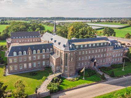
This is one of the walking routes that start at the Heilig Bloed Missionary Convent on Kloosterdr...
(13.9 km) -
Hiking the Onderduikersroute in Someren-Lierop
Hiking the Onderduikersroute in Someren-Lierop
The Onderduikers Route starts in Lierop at the Koepelkerk. This walking route runs past the Fran...
(8.5 km) -
Hiking the Beuven route in Someren
Hiking the Beuven route in Someren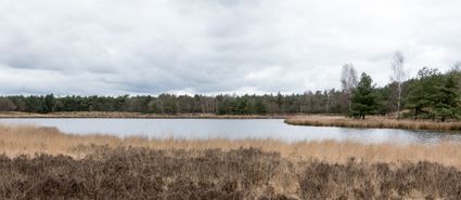
The Beuvenroute starts on the edge of Lierop in the hamlet of Moorsel near the parking lot of Bos...
(5.0 km) -
Monastery walk Aarle-Rixtel
Monastery walk Aarle-Rixtel
This monastery tour lets you discover the beautiful nature around the Missionary Convent Holy Blo...
3 hour 20 minutes (13.0 km) -
Geocache De Aarlese Beemden
Geocache De Aarlese Beemden
This geocache runs through the Aarlese Beemden. These are located north of the village of Aarle-R...
-
Griendtsveen in het groen
Griendtsveen in het groen
Walking network route through the beautiful peel nature and the picturesque village of Griendtsveen
(6.5 km) -
Buntvenroute
Buntvenroute
The wonderful Buntven is the jewel in the crown of the Zandbos, this route takes you through this...
(5.6 km) -
De Aarlese Beemden
De Aarlese Beemden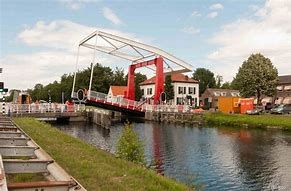
The area enclosed by the ommetje is 20 ha. The field name 'Beemd' is used in North Brabant to ref...
(2.0 km)