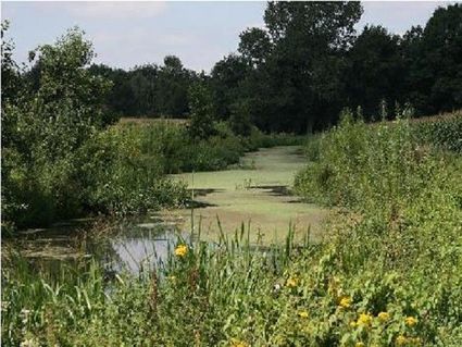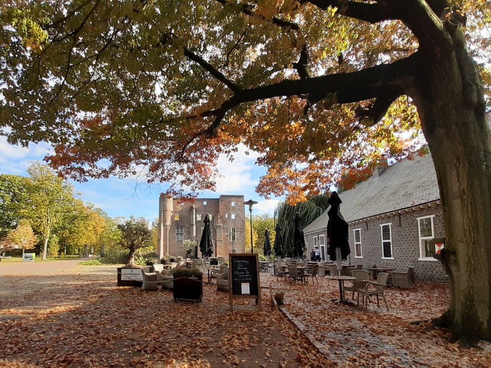
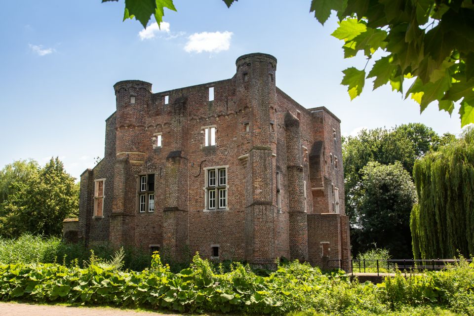
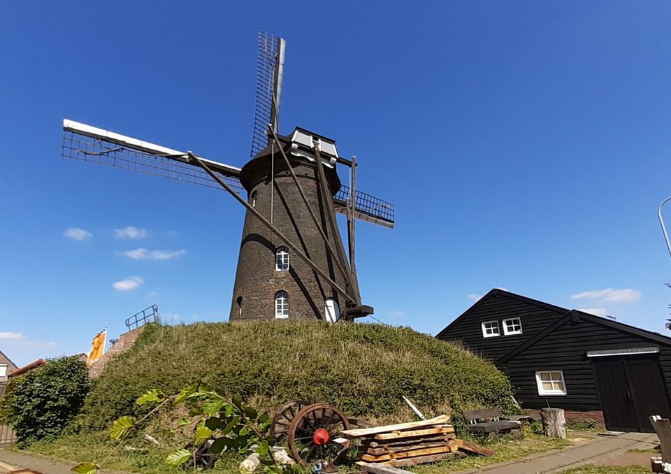
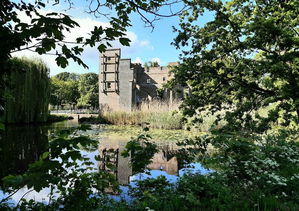
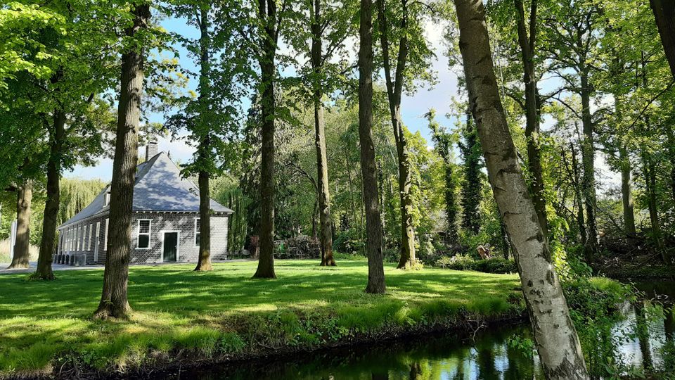
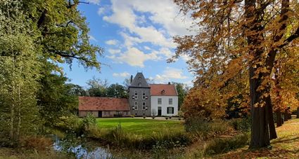
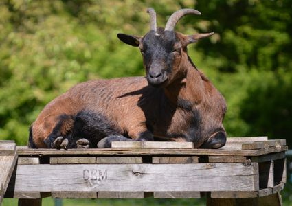
Hiking through the lands of the castle
The network of hiking routes in downtown Deurne and its immediate surroundings will give you plenty of hours of hiking fun.
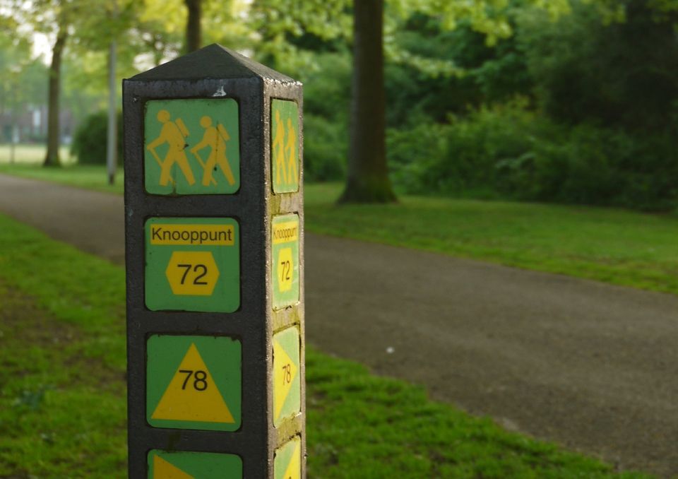
How does the network of hiking routes work?
The network of hiking routes consists of various junctions, numbers on maps and (yellow-green) signposting or stickers in the fields. You can create your very own route by connecting the numbers.
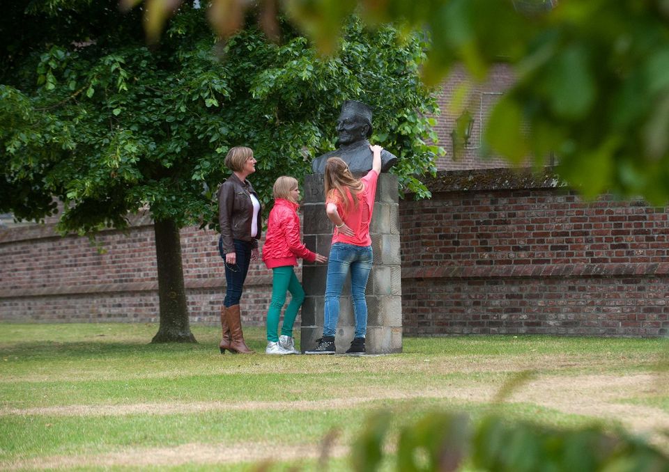
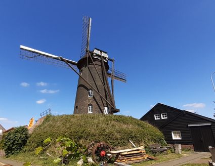
From lord of the castle to miller
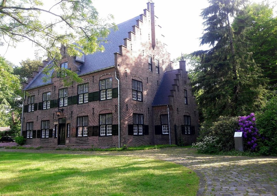
Hiking through the lands of the castle
Starting point: parking lot Haageind
Length: 4.8 km
Junctions: through the castle park to 71 – 72 – 78 – 96 – 97 – 71
Sights on this route
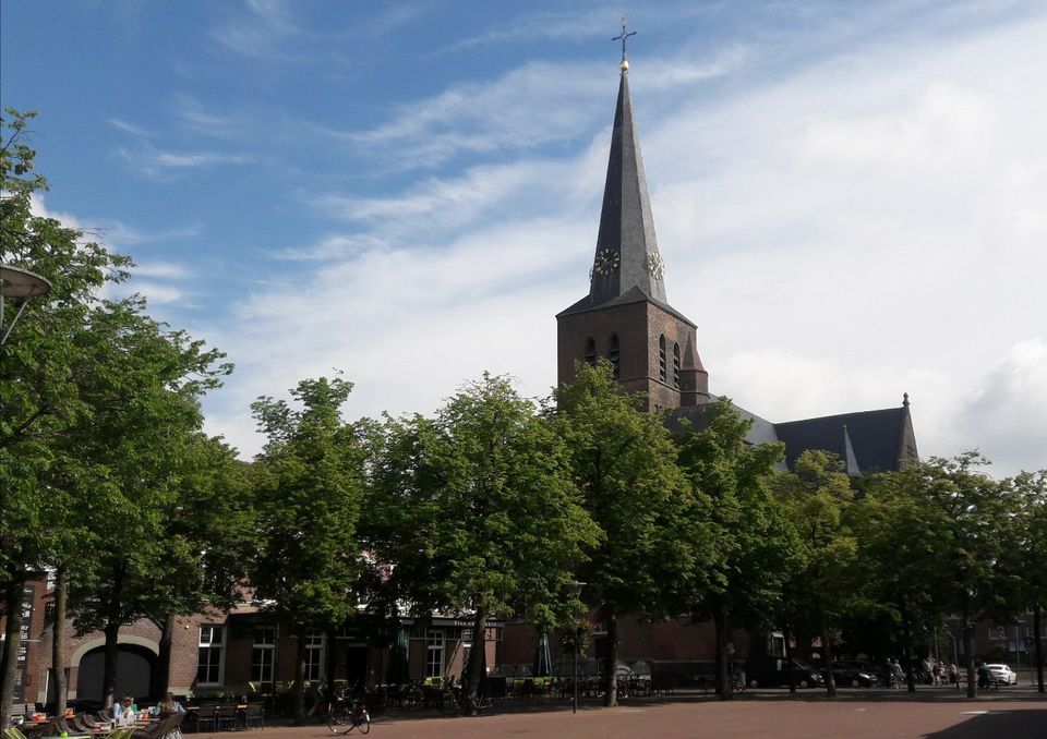
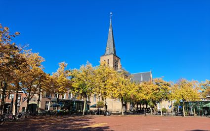
St. Willibrordus church in the centre of Deurne
St. Willibrorduskerk Deurne CentrumMarkt 9
5751 BE Deurne
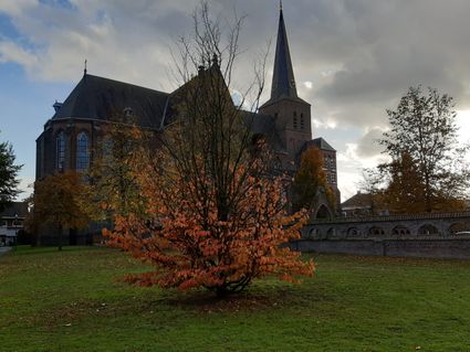
St. Willibrordus church in the centre of Deurne
St. Willibrordus church in the centre of Deurne
St. Willibrorduskerk Deurne Centrum
Markt 9
5751 BE Deurne
- 71
- 72
- 78
- 96
- 97
- 71
You may also be interested in
-
Bomenwandeling Aarle-Rixtel
Bomenwandeling Aarle-Rixtel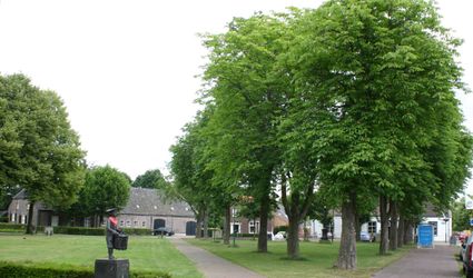
It is recommended to walk this tree walk in the different seasons.
(3.5 km) -
Walking route De Peel and De Witte Bergen
Walking route De Peel and De Witte Bergen
There is only one way to explore De Peel and that is with sturdy, waterproof hiking boots. De Gro...
(17.2 km) -
Buildings and nature Aarle-Rixtel
Buildings and nature Aarle-Rixtel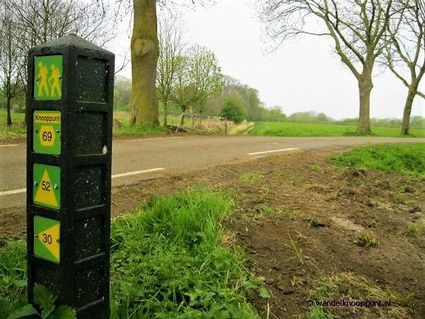
A walk of almost 16 km through Aarle-Rixtel.
(16.0 km) -
Geocache De Aarlese Beemden
Geocache De Aarlese Beemden
This geocache runs through the Aarlese Beemden. These are located north of the village of Aarle-R...
-
Boerenwandeling
Boerenwandeling
The walk in the piglet forest is especially for children from about 3 to 10 years of age.
1 hour -
Hiking the Bontven Route in Someren
Hiking the Bontven Route in Someren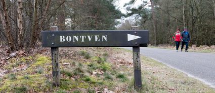
Start; This Bontven route, consisting of 3 distances, starts from the 't Bontven parking lot alon...
(5.0 km) -
Walking route Walking through Asten
Walking route Walking through Asten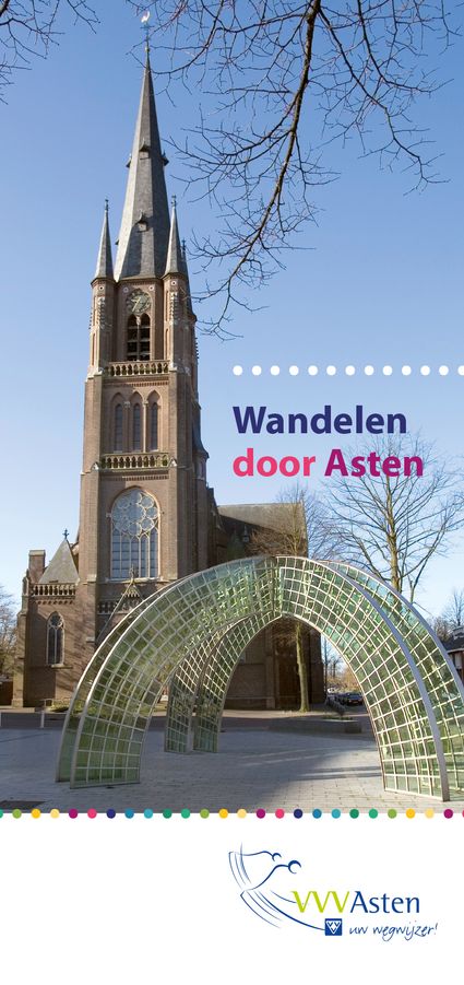
On the basis of this wheelchair-friendly walk of about 3 km through the center of Asten, we will...
(4.0 km) -
Quest of discovery through Gemert
Quest of discovery through Gemert
Seigniorial history. Learn about the surroundings and the history of Gemert-Bakel in a relaxed w...
-
Monastery walk Aarle-Rixtel
Monastery walk Aarle-Rixtel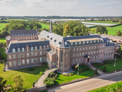
This monastery tour lets you discover the beautiful nature around the Missionary Convent Holy Blo...
3 hour 20 minutes (13.0 km)