't Geregt
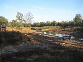
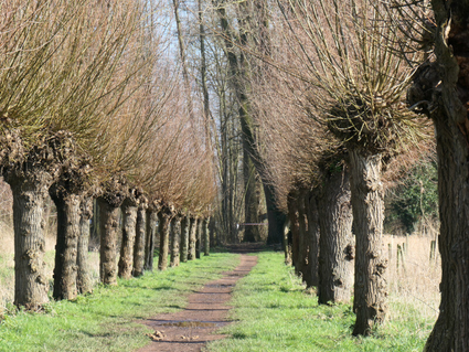
Adjacent to Mariahout is 't Geregt/Lijnt (Meierijstad). A wide forest path runs parallel to the canal here, which was formerly used as a shortcut from Beek en Donk to Veghel. The old oaks give the current sandy path an avenue-like character. The name 't Geregt' refers to the place where, until the end of the 18th century, legal punishments were carried out. There was a gallows (map 1752) near the prehistoric burial mound. This mound has a diameter of 15 metres and a height of about 80 centimetres. This point also served as a border point between Veghel, Lieshout and Erp. To the southwest of the burial mound, shifting dunes are still visible from the topsoil ridge.
Sights on this route
Starting point
Mariahout
Navigate to starting point
Directions
Hiking point 15: Start
Distance to next point: 1,7 km
Hiking selection point 14
Distance to next point: 1,3 km
Hiking selection point 11
Distance to next point: 400 m
Hiking selection point 10
Distance to next point: 0 m
Hiking selection point 10
Distance to next point: 1,3 km
Hiking selection point 15: End
