
Varied Laarbeek
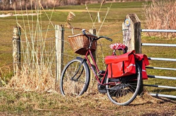
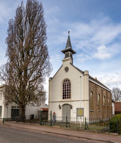
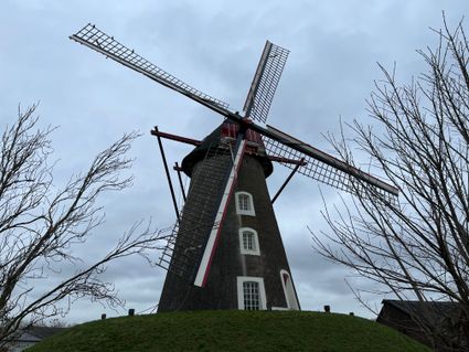
During this cycle route, you will come across enough resting points to enjoy the landscape and nature for a while. The cycle route also passes through Aarle and Rixtel which have historical buildings. It is a tour with enough variation.
This cycle route starts at the address Kleinbroekdreef 4, 5735 in Aarle-Rixtel. Aarle-Rixtel belongs to the municipality of Laarbeek and is located in the province of North Brabant. The total length of this route is 39.90 km and it is a round trip. The maximum altitude of this cycle route is 25 with an ascent of 159 metres in total and a descent of 152 metres in total.
Sights on this route
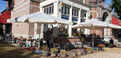
Starting point
Kleinbroekdreef 4
5735SR Aarle-Rixtel
Navigate to starting point
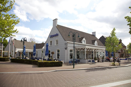
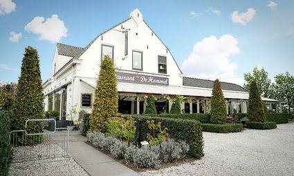
Grieks Specialiteiten Restaurant Aphroditi
Kapelstraat 35741CA Beek en Donk
Grieks Specialiteiten Restaurant Aphroditi
Grieks Specialiteiten Restaurant Aphroditi
Kapelstraat 3
5741CA Beek en Donk

You may also be interested in
-
Forest route Deurne
Forest route Deurne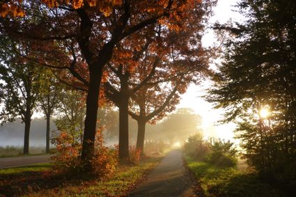
Discover the woods of Deurne by bike. A wonderful route on the bicycle route network through nature.
(45.4 km) -
Rondje Aarle-Rixtel, Elsendorp, Milheeze
Rondje Aarle-Rixtel, Elsendorp, Milheeze
Tranquillity dominates this area where Scottish Highlanders graze on the heathland in the east of...
(60.0 km) -
Monument route 2 cycling in Someren
Monument route 2 cycling in Someren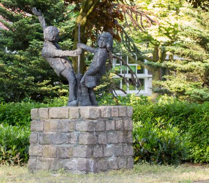
This Monument Cycle Route is 17 km long and takes you past a number of monuments and places of in...
(21.0 km) -
Bicycle route 'Langs het tuinpad van....'
Bicycle route 'Langs het tuinpad van....'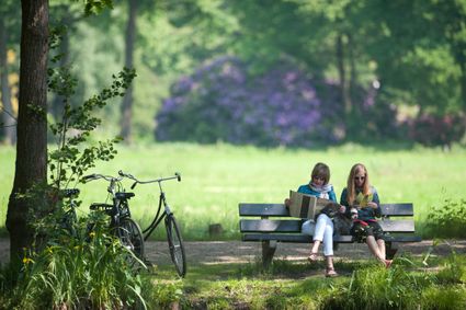
Bicycle route of 21, 31 or 43 km through Deurne, Liessel, Vlierden and Milheeze
(43.0 km) -
Cycle route The Mystery of the Golden Peel Helmet
Cycle route The Mystery of the Golden Peel Helmet
Experience the mystery of the Peel while on this cycle route (56km) and discover the story of the...
4 hour 40 minutes (56.0 km) -
Route Asten (Liberation Route Brabant)
Route Asten (Liberation Route Brabant)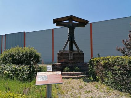
Cycling route of 47 kilometers based on the cycling junctions, in which great deeds and atrocitie...
(47.0 km) -
Cycle route De Pelen
Cycle route De Pelen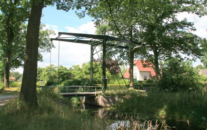
Signposted cycle route of 59 km along De Deurnschse Peel, De Mariapeel and De Groote Peel.
(61.6 km) -
Cycling tour Blue Gate
Cycling tour Blue Gate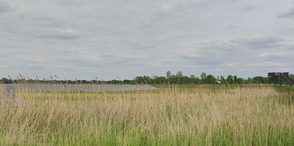
This is a second cycle route through and along the Blue Gate. This time via nodes.
(12.6 km) -
cycling tour Mariapeel
cycling tour Mariapeel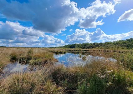
Two provinces cycle tour through the beautiful Peel area. Nature and cultural history on a networ...
(43.5 km) -
Monument route 1 cycling in Someren
Monument route 1 cycling in Someren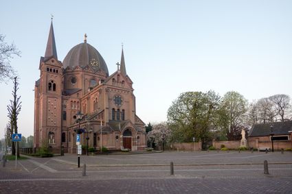
This signposted Monument Cycle Route is 18 km long and takes you past a number of monuments and p...
(25.0 km)