There are 24 results found for "Mariahout ponds"
Routes
24 results
-
Walking routes north-east of Mariahout
Walking routes north-east of Mariahout
Northeast of Mariahout a number of beautiful walking routes are marked.
(3.0 km) -
Hiking trails southwest of Mariahout
Hiking trails southwest of Mariahout
To the south-west of Mariahout, a number of beautiful walking routes have been marked out.
(3.5 km) -
Historische route - Mariahout Pioniersdorp
Historische route - Mariahout Pioniersdorp
This route runs through the centre of Mariahout. There are 18 QR codes on 18 signs that lead the...
(4.6 km) -
Route along municipal ponds Beek en Donk
Route along municipal ponds Beek en Donk
A beautiful walking route that takes you past three municipal ponds, among other things.
(3.3 km) -
Pond route Beek en Donk
Pond route Beek en Donk
Beautiful walking route through Beek en Donk, taking you past five municipal ponds.
(5.0 km) -
Janmiekesroute
Janmiekesroute
The Janmiekes route leads through a varied landscape on the border of Mariahout and Beek en Donk.
(4.8 km) -
Ommetje West Mariahout
Ommetje West Mariahout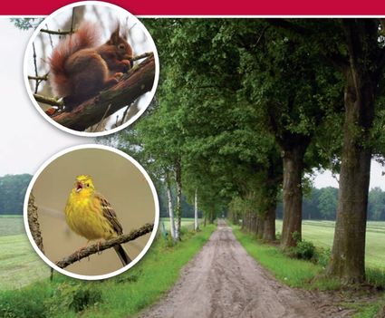
Walk through woods, meadows and thickets for numerous birds.
(5.0 km) -
't Geregt
't Geregt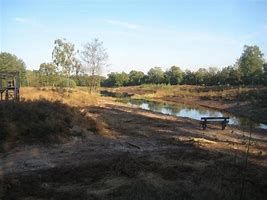
Adjacent to Mariahout lies 't Geregt/Lijnt (Meijerijstad)
(5.0 km) -
Bruggen- en kanalenroute
Bruggen- en kanalenroute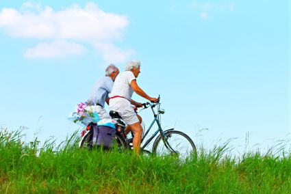
Cycling along canals and through villages. A 40 km route, past the Mariacave in Mariahout, variou...
(38.8 km) -
Geocache Vogelnatuurpad
Geocache Vogelnatuurpad
The bird nature trail is located in the immediate vicinity of the town hall. This beautiful park...
(4.0 km) -
Round Laarbeek
Round Laarbeek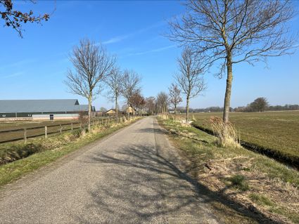
A route through beautiful Laarbeek. Along the B&B's and catering establishments.
(39.0 km) -
Death Valley De Peel - Liberation Route Laarbeek
Death Valley De Peel - Liberation Route Laarbeek
The signposted cycle route leads past commemorative monuments and events that that took place in...
(28.0 km) -
Fietsen door het Brabantse land
Fietsen door het Brabantse land
A route through varied landscape and characteristic villages.
(45.2 km) -
Ommetje Zuid Mariahout
Ommetje Zuid Mariahout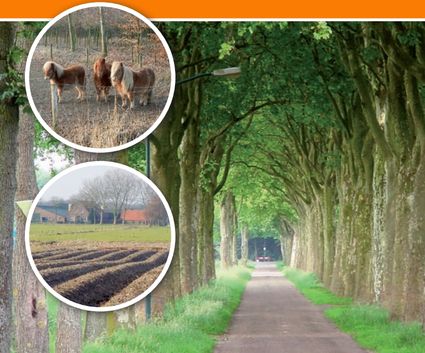
Characteristic are the small-scale elements such as pollard-willows and small wooded banks in a m...
(5.5 km) -
Ommetje Oost Mariahout
Ommetje Oost Mariahout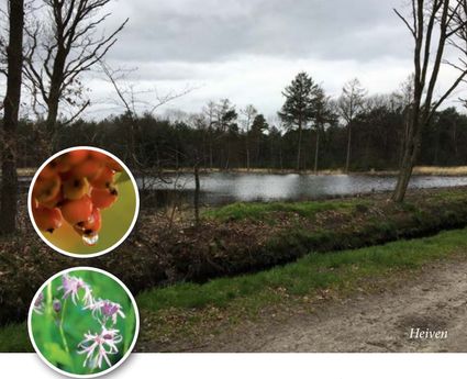
This walk is characterised by a small-scale landscape where agriculture and forestry predominate.
(4.6 km) -
Door de Meijerij
Door de Meijerij
This route goes through Schijndel, Mariahout and Gemert.
(69.3 km) -
Geocache Ommetje Oost - Mariahout
Geocache Ommetje Oost - Mariahout
Ommetje Oost shows mainly small-scale landscape in the form of arable farming and forest. On the...
(5.0 km) -
Vresselaarroute
Vresselaarroute
The route is located in the eastern part of Nature Park 't Groen Woud.
(28.7 km) -
Rondom Rooi
Rondom Rooi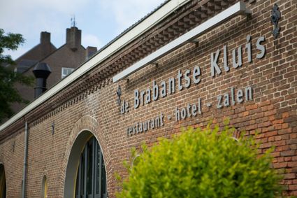
The cycle route Rondom Rooi starts at Herberg de Brabantse Kluis in Aarle-Rixtel.
(58.0 km) -
D'n Erpse Pad
D'n Erpse Pad
Hiking route that runs across a central Brabant sand ridge.
(6.0 km) -
Walking route The Ommels Ommetje
Walking route The Ommels Ommetje
This Ommetje is a short walk through the center of Ommel. The distance is only 2.5 kilometers. Yo...
(2.5 km) -
Walking route De Peel and De Witte Bergen
Walking route De Peel and De Witte Bergen
There is only one way to explore De Peel and that is with sturdy, waterproof hiking boots. De Gro...
(17.2 km) -
Walking route Asten-Heusden and De Witte Bergen
Walking route Asten-Heusden and De Witte Bergen
Signposted walking route of 14 km through Asten-Heusden and De Witte Bergen.
(14.0 km) -
Walks around the Woold Asten-Heusden Golf Course
Walks around the Woold Asten-Heusden Golf Course
Golf course Het Woold is located in Asten-Heusden near De Groote Peel National Park. Golf players...