ATB-route Bakelsbos Helmond
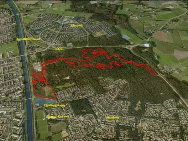
The route is 9.5 kilometers in length.
The route is marked with wooden markers with the international ATB sign (a blue triangle over 2 circles).
You can start the route at: - Hoek van de Scheidijk - Sjef de Kimpepad.
Parking is possible at the parking facilities of sporting complex "De Rijpel" at the Rijpelbergseweg 1, 5703 KN in Helmond
Surroundings:
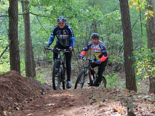
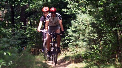
The route is located in the Bakelse Bossen near Helmond. The Bakelse Bossen cover an area of 115 hectares of pine trees. It is a former municipal forest which is currently owned by Brabant Water.
Because of its location, the forest serves as the g…
The route is 9.5 kilometers in length.
The route is marked with wooden markers with the international ATB sign (a blue triangle over 2 circles).
You can start the route at: - Hoek van de Scheidijk - Sjef de Kimpepad.
Parking is possible at the parking facilities of sporting complex "De Rijpel" at the Rijpelbergseweg 1, 5703 KN in Helmond
Surroundings:
The route is located in the Bakelse Bossen near Helmond. The Bakelse Bossen cover an area of 115 hectares of pine trees. It is a former municipal forest which is currently owned by Brabant Water.
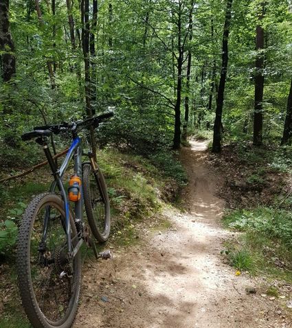
Because of its location, the forest serves as the green lung of the city. The oldest parts of the forest date back to 1915. Because of the soil of drift sand, the forest has relatively little variety in flora. It is mainly made up of Scots pine, but also has several other softwood trees as well as northern red oak. The forest has beautiful drift sand dunes, juniper bushes, an open area of drift sand and a small patch of heathland.
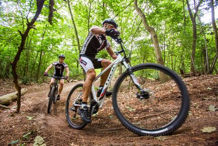
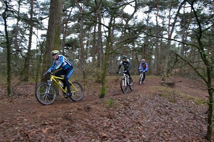
Nature of the route: technical with many short climbs
GPS track: there is a GPS track file available for this route and has been added here.
The starting coordinates are: N 51.28.753 / E 5.41.5645.
The city of Helmond is currently working together with the communities of Stiphout, Gemert, Deurne, Vlierden, Asten and Lierop to connect all the ATB routes in the region.
Sights on this route
Starting point
Rijpelbergseweg 1
5703 KN HELMOND
Navigate to starting point
